TheoContour R10 is coming

No, we do not post often enough here.
No, we do not update our site enough.
Yes we need to work on this.
However you can be sure when we do post, it is important, it is interesting and it is new!

In this case what is new is TheoContour R10!

Its just a week or two away – we are just finishing off the installer and testing the installer.

What can you expect from the new release? You can expect what all software developers say their new releases contain:

  • More Power!
  • More Functions!
  • Easier to Use!Spline-smoothed-6_trimed

In this case it is true! TheoContour (we think) is one of the updates we are most proud of. The new features include:


  • New licensing System (easier to use, more reliable, better trial options).
  • PLY Import
  • Powerful Surface Smoothing Options
  • Powerful Line Smoothing Options
  • Better Layer Control
  • New Surface Creation Options with user definable colours.
  • Better memory management.

Surf ht shaded

Contact Us now for further details!

PointSense Seminar.

During the launch of the PointSense Plant product, kubit provided a number of seminars detailing the powerful features of this exciting tool. The webinars show the ease of accurate piping design in AutoCAD with the native PCG engine along with a great of variety of powerful tools working directly on the native PCG engine. The webinar has been divided into 4 sections of 15 minutes duration and should be watched in the following order:

Part 1:

Part 2:

Part 3:

Part 4:

Ortho Image from PointCloud’s

Following on from our previous post announcing PointCloud Release 7, here is a video showing one of the new (and probably most useful) functions.

Then ortho image is easily created from a laser scanned point cloud in AutoCAD. The image is to scale and can be imported to any program that handles raster images. Draw easy elevations, great for printing or annotating for a deliverable. Contact us for more information.

Multiple Slices and Polygon Fitting in PointCloud Pro

Kubit USA have been producing YouTube Videos showing many of the powerful features of PointCloud Pro for AutoCAD.

In this movie we automatically extract profile lines from a laser scanned tunnel using kubit PointCloud Pro for AutoCAD. Multiple slices are taken along a defined path and lines are fitted to the profile slices with the kubit “Polygon Fit” tool. These profiles can also be used easily to create a model using traditional AutoCAD modelling commands:


Kubit Partner Conference

Once a year the kubit resellers from around the world gather at kubit’s Dresden offices to review and discuss developments in surveying software and new products for the next year. I have just returned from the 2011 conference and am really pleased to report that the future of kubit software looks really promising. Both PhoToPlan and PointCloud have some new really powerful and important new tools that will help extract more information from the PointCloud or Photograph quicker and easier.

There will be many posts in the coming weeks and months to detail these improvements but briefly;

PointCloud: (both Basic and Pro) now include Orthographic Image Generation – a quick and easy to use tool that is ideal for extracting plans and elevations for tracing. There is also a new focus on industry specific tools – the first of these is PointSense Plant. PointCloud also benefits from the improvements to the pointcloud engine in AutoCAD 2012.

PhoToPlan: In addition to many workflow improvements, the tool will also feature a new ortho image  tool – generating Orthographic Photographs from the combination of geometry (or pointclouds) and orientated images.

Detailed announcements will be made soon.

TheoContour: Fast Contouring made easy!

You can spend a lot of money on contouring, the software tools for surface interpolation and depiction do not come cheap and even the ‘inbuilt’ AutoDesk options require a hefty investment in a ‘Map 3D’ or ‘Civil’ variant. But there is a very effective and low cost option which I have been using for some time now and it’s proved itself to be a good ‘fast and dirty’ fix for getting contours done: TheoContour.

Like all of the Latimer CAD family of tools this is based on the premise of solving a CAD problem, not a surveying one: there are no data tables to code, no CoGo computations to step over and the outputs are pure CAD entities ready for your next DWG based task. And of course all is in 3D from the start.

Let’s start by looking at the results:

This composite view gives you an idea of what TheContour is capable of: annotated smooth 3D ploylines and shaded surface generation.

So how does it work?

TheoContour is an arx/brx application:

it works with points so getting started is easy: just get your points into AutoCAD! The points can be layered anyway you choose, and obviously, they need to be congruent in terms of height consistency ( in other words they have to be organised such that the Z values are correct!)

Once we are happy all the points are in the current view in WCS the 1st TheoContour command is : theocollate which loads up the points and reports on the surface they describe ready for the next step:

I kid you not, the arx processes this stuff pretty quickly 2,703 points in about 3 s!

Note that the command line report relays the settings we are using on this model. They can be changed easily; I’m not happy with contours at 4 to the metre indexed on the metre so I go to settings and switch the index interval to 5:

I’m now ready to contour:

The command is, you guessed it: theoContour! Plotting the contours takes a little time, this example takes about 45s to generate. Some models can take a while, it’s all dependent on how fine the contours are combined the entity type being generated (lines, polylines or splined polylines).

Not bad for a 1st pass, I would return to the settings and look at smoothing but this gives you a good idea of how simple the process is: and it’s flexible- in effect the datum is the zero value for Z in the current UCS so you can use theocontour to generate contoured surfaces indexed to any plane defined by a UCS! The contours are 2D ploylines in 3D space so they can be edited easily using PEDIT to get them tidy!

So just using 2 commands and tweaking the settings I have got working contours in minutes.

TheoContour also generates profiles and shaded surfaces, the text annotation is pretty neat too but for now I just want to show how simple contouring CAN be if you use TheoContour!

TheoContour for BricsCAD

TheoContour can be downloaded as part of TheoLt core at:…

http://www.theolt.com/web/theo-contour/

TheoLt: The CAD in CADW Surveys!

This week I spent two wonderful days as a guest of CADW working at Chepstow Castle.

CADW site listing and…History of the Castle

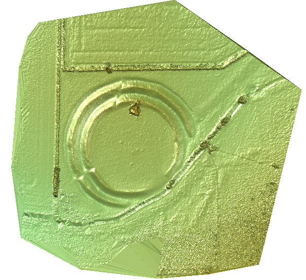
The castle is a gem, and it was a privilege to be shown some of its secrets by the conservation experts I was working with. We had awful weather but we didn’t mind, as working together, we were able to get a good plan of the 2nd floor of Martens tower and, for me at any rate,  this is the finest kind of work there is!

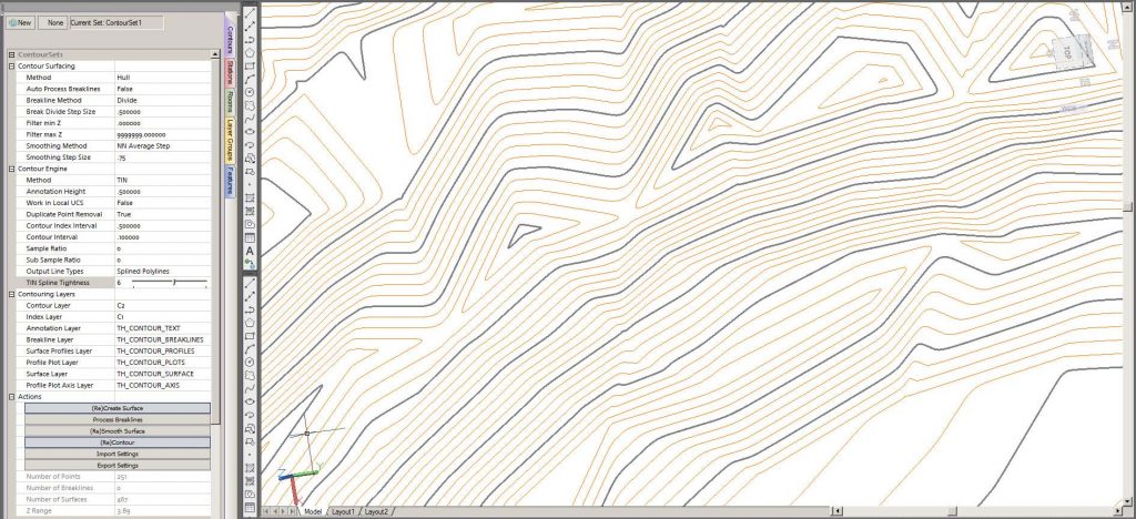
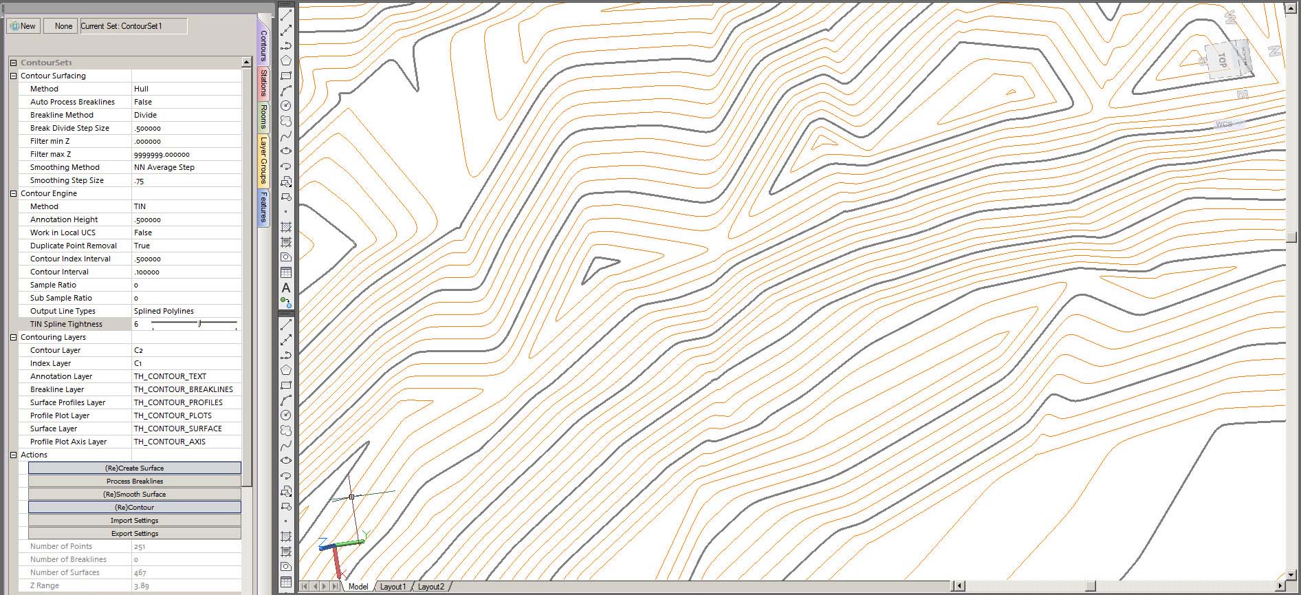
The Architects Dept. of the national heritage body for Wales need surveys for site conservation and development. Following a demonstration at the Digital Past event in Cardiff earlier in the year the Architectural Technicians Team bought TheoLt Pro to work with their Leica 1200 series instrument.

I agreed to supply 2 days of  ‘on demand’ training for Paul Hayes, Michael Hopkins and Tony Kinson who handle a variety of challenging projects which need critical survey information in real-time.

Survey is a key tool in site development of any kind, and heritage sites have very specific survey needs. The CADW team get most of their survey done by contract survey companies working under a framework agreement, but there is a constant need to get small tricky areas surveyed quickly to kick off a design scheme for new visitor accommodation such as ticket offices, access pathways and the like.  Surveys need to be quick, in CAD, and annotated with levels in plan section and elevation.

The training session began with a quick assessment of training need and moved straight into practical procedures: getting a quick survey started using default orientation is a very useful way of getting the most out of limited site time, and the TheoLt ‘Default orientation’ option proved the point- once the kit is set up you can begin collecting precise 3D wire frame in minutes!

Its worth remembering TheoLt was designed for just this kind of scenario; a CAD plot of a single wall profile can make all the difference in project design and the software puts the absolute minimum between the surveyor and the CAD drawing. The CADW team are focused on solving project information needs and were impressed with the direct to DWG approach.

Working as training and support for Latimer CAD I find building a good relationship with TheoLt users rewarding and fun: its great to know CADW are able to get the most out of their 1200 now they can work with TheoLt!

We quickly worked through our training agenda:

  • Quick start
  • Preparing plans
  • the 3 methods of orientation
  • using UCS for 3d views
  • handling linetypes and line typescale
  • checking precision
  • level annotation using attributed blocks
  • toolbar customisation
  • working with AutoCAD alternatives- BricsCAD
  • TPS 1200 interface.  the pdf on this is here

Getting to know the ‘most wanted’ AutoCAD commands in surveying turned out to take up almost as much of our time as getting to know the TheoLt interface, this was no surprise to me as I know when TheoLt is used well it’s virtually invisible, making the job an AutoCAD one rather than a surveying one!

CADW need sections, levels and plans of the ‘hard to reach’ parts of their monuments and sites and this is just where the flexibility of TheoLt is an asset to the CADW team. At the very beginning of our session I was told the frequency of survey activity in the workgroup was very variable and they needed a method that is simple enough to pick up months after last use.  By the time we packed up at the close of the session I was cheered to hear user comment like ‘this is so much better that what we did before; you can see your mistakes as you make them!’

Driving home along the banks of the River Severn I was reminded of my first days doing CAD surveys and how often I would get stuck and have no help at all ( it was ‘PenMap’ in those days) and I look forward to the CADW teams first site survey with TheoLt because, of course, I’ll be there if needed to build the skills required; I have opened the door of opportunity for these surveyors and I am proud to have been invited to do so!